The Central Avenue Strip

The expression “Central Avenue strip” was not unique to Toledo. In Los Angeles, Central Avenue had become a celebrated center of Black nightlife and jazz by the 1930s, and the stretch of clubs and businesses was subsequently remembered as the “Central Avenue strip.” The expression has appeared in a few other places as well, but in those instances strip is consistently lowercase. Only in Toledo have I found Strip capitalized.

Having some familiarity with the slogan, I was certain it got its start in the early 1980s. However, my initial research shows that it appeared as early as 1976.

Continue reading “The Central Avenue Strip”
Whitney & Currier Building, 515 Madison Avenue

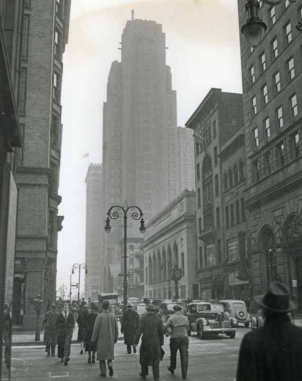
The Whitney & Currier Building is the six-story building right of center between the two-story Northern Bank building (center at Madison and Superior) and the four story Doyle & Lewis Building. Note the clock in front of the building. The ten-story Home Bank Building (former site of the Toledo Club building) is on the far right at Madison and Huron. Source: Toledo Lucas County Public Library, Local History and Genealogy.
Continue reading “Whitney & Currier Building, 515 Madison Avenue”

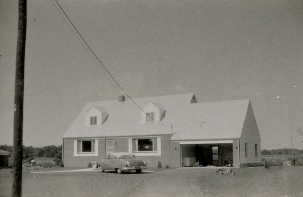
Henry G. Haefner Farm, 2830 Holland-Sylvania Rd.

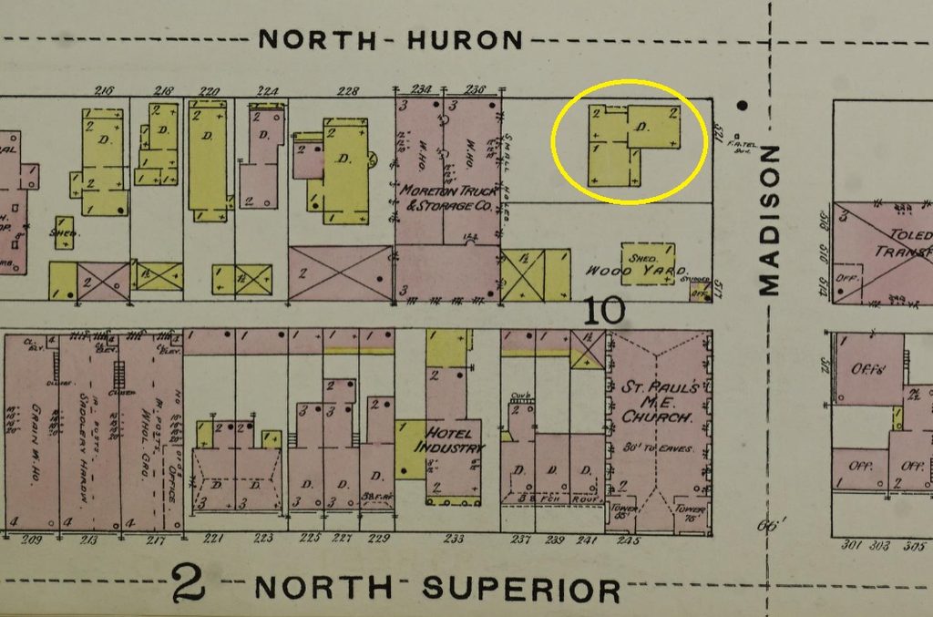
In 1861 this land was still owned by Emmeline Wadsworth. In 1875 it was owned by Jeremiah Micham (1822-1898) and in 1888 by Riley Micham. A map from 1900 shows a house on the property facing Holland-Sylvania Road. Charles Micham, the brother of Riley, owned the land on the south side of his brothers property. Henry Haefner married Louisa Gerner in June 1897 in Lucas County. By 1910, the Riley property was the home and farm of Henry and Louisa Haefner.

Continue reading “Henry G. Haefner Farm, 2830 Holland-Sylvania Rd.”

From Plain Lands to Private Hands: Long Before ‘The Corners’

Capture from Joseph Wampler’s 1820 survey.

Joseph Wampler

In 1820, surveyor Joseph Wampler was making his way through the area that would, in 1895, be known as Rattlesnake Corners, or simply “The Corners.” Today, we know the intersection as Central and Holland-Sylvania. The black dot in the 1820 capture above represents the intersection.

Continue reading “From Plain Lands to Private Hands: Long Before ‘The Corners’”